Infographics Royalty Free Vector Images(27,343)
Page 539 of 547

Nigeria marked by blue in grey World political map. Vector illustration
VectorUsername
pytyResolution
5000x3750pxNigeria marked by blue in grey World political map. Vector illustration


Mongolia marked by blue in grey World political map. Vector illustration
VectorUsername
pytyResolution
5000x3750pxMongolia marked by blue in grey World political map. Vector illustration


Madagascar marked by blue in grey World political map. Vector illustration
VectorUsername
pytyResolution
5000x3750pxMadagascar marked by blue in grey World political map. Vector illustration


Mauritania marked by blue in grey World political map. Vector illustration
VectorUsername
pytyResolution
5000x3750pxMauritania marked by blue in grey World political map. Vector illustration


Mali marked by blue in grey World political map. Vector illustration
VectorUsername
pytyResolution
5000x3750pxMali marked by blue in grey World political map. Vector illustration


Libya marked by blue in grey World political map. Vector illustration
VectorUsername
pytyResolution
5000x3750pxLibya marked by blue in grey World political map. Vector illustration


Kenya marked by blue in grey World political map. Vector illustration
VectorUsername
pytyResolution
5000x3750pxKenya marked by blue in grey World political map. Vector illustration


Kazakhstan marked by blue in grey World political map. Vector illustration
VectorUsername
pytyResolution
5000x3750pxKazakhstan marked by blue in grey World political map. Vector illustration


Italy marked by blue in grey World political map. Vector illustration
VectorUsername
pytyResolution
5000x3750pxItaly marked by blue in grey World political map. Vector illustration


Germany marked by blue in grey World political map. Vector illustration
VectorUsername
pytyResolution
5000x3750pxGermany marked by blue in grey World political map. Vector illustration


France marked by blue in grey World political map. Vector illustration
VectorUsername
pytyResolution
5000x3750pxFrance marked by blue in grey World political map. Vector illustration


Finland marked by blue in grey World political map. Vector illustration
VectorUsername
pytyResolution
5000x3750pxFinland marked by blue in grey World political map. Vector illustration


Ethiopia marked by blue in grey World political map. Vector illustration
VectorUsername
pytyResolution
5000x3750pxEthiopia marked by blue in grey World political map. Vector illustration


Egypt marked by blue in grey World political map. Vector illustration
VectorUsername
pytyResolution
5000x3750pxEgypt marked by blue in grey World political map. Vector illustration


Democratic Republic of Congo marked by blue in grey World political map. Vector illustration
VectorUsername
pytyResolution
5000x3750pxDemocratic Republic of Congo marked by blue in grey World political map. Vector illustration


China marked by blue in grey World political map. Vector illustration
VectorUsername
pytyResolution
5000x3750pxChina marked by blue in grey World political map. Vector illustration


Chad marked by blue in grey World political map. Vector illustration
VectorUsername
pytyResolution
5000x3750pxChad marked by blue in grey World political map. Vector illustration


Angola marked by blue in grey World political map. Vector illustration
VectorUsername
pytyResolution
5000x3750pxAngola marked by blue in grey World political map. Vector illustration


Algeria marked by blue in grey World political map. Vector illustration
VectorUsername
pytyResolution
5000x3750pxAlgeria marked by blue in grey World political map. Vector illustration


Afghanistan marked by blue in grey World political map. Vector illustration
VectorUsername
pytyResolution
5000x3750pxAfghanistan marked by blue in grey World political map. Vector illustration


World map with names of sovereign countries and larger dependent territories. Simplified multicolored vector map on blue background
VectorUsername
pytyResolution
5000x3739pxWorld map with names of sovereign countries and larger dependent territories. Simplified multicolored vector map on blue background


Egypt marked by blue in grey World political map. Vector illustration
VectorUsername
pytyResolution
5000x3750pxEgypt marked by blue in grey World political map. Vector illustration


Country England travel vacation guide of goods, places and features. Set of architecture, fashion, people, items, nature background concept
VectorUsername
LinetaleResolution
5000x3479pxCountry England travel vacation guide of goods, places and features. Set of architecture, fashion, people, items, nature background concept


Political map of Europe. Simplified thin black wireframe outline with national borders and country name labels. Vector illustration
VectorUsername
pytyResolution
5000x3652pxPolitical map of Europe. Simplified thin black wireframe outline with national borders and country name labels. Vector illustration


Political map of Australia and Oceania. Simplified thin black wireframe outline with national borders and country name labels. Vector illustration
VectorUsername
pytyResolution
5000x3875pxPolitical map of Australia and Oceania. Simplified thin black wireframe outline with national borders and country name labels. Vector illustration


Political map of Asia. Simplified thin black wireframe outline with national borders and country name labels. Vector illustration
VectorUsername
pytyResolution
5000x3733pxPolitical map of Asia. Simplified thin black wireframe outline with national borders and country name labels. Vector illustration


Political map of Arfica. Simplified thin black wireframe outline with national borders and country name labels. Vector illustration
VectorUsername
pytyResolution
5000x4160pxPolitical map of Arfica. Simplified thin black wireframe outline with national borders and country name labels. Vector illustration


Political map of world. White lands and blue seas. Vector illustration
VectorUsername
pytyResolution
5000x3750pxPolitical map of world. White lands and blue seas. Vector illustration


South America continent blue marked in grey silhouette of World map. Simple flat vector illustration
VectorUsername
pytyResolution
5000x3242pxSouth America continent blue marked in grey silhouette of World map. Simple flat vector illustration


South America continent blue marked in grey silhouette of World map. Simple flat vector illustration
VectorUsername
pytyResolution
5000x2575pxSouth America continent blue marked in grey silhouette of World map. Simple flat vector illustration


North America continent blue marked in grey silhouette of America centered World map. Simple flat vector illustration
VectorUsername
pytyResolution
5000x3242pxNorth America continent blue marked in grey silhouette of America centered World map. Simple flat vector illustration


North America continent blue marked in grey silhouette of World map. Simple flat vector illustration
VectorUsername
pytyResolution
5000x2575pxNorth America continent blue marked in grey silhouette of World map. Simple flat vector illustration

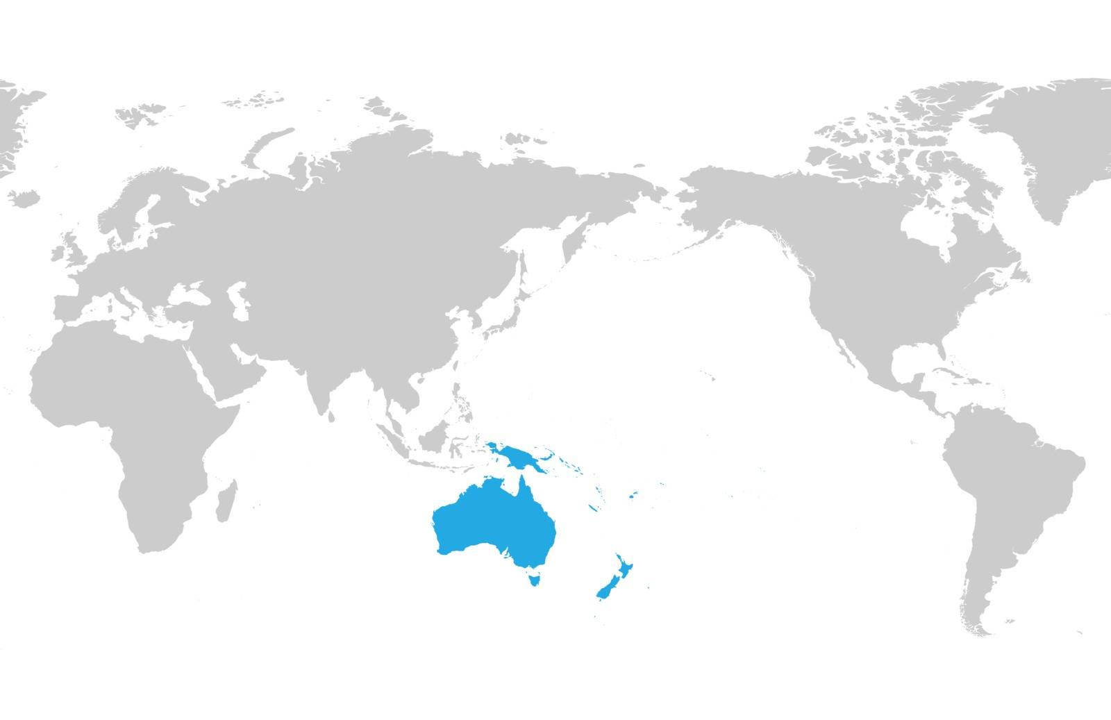
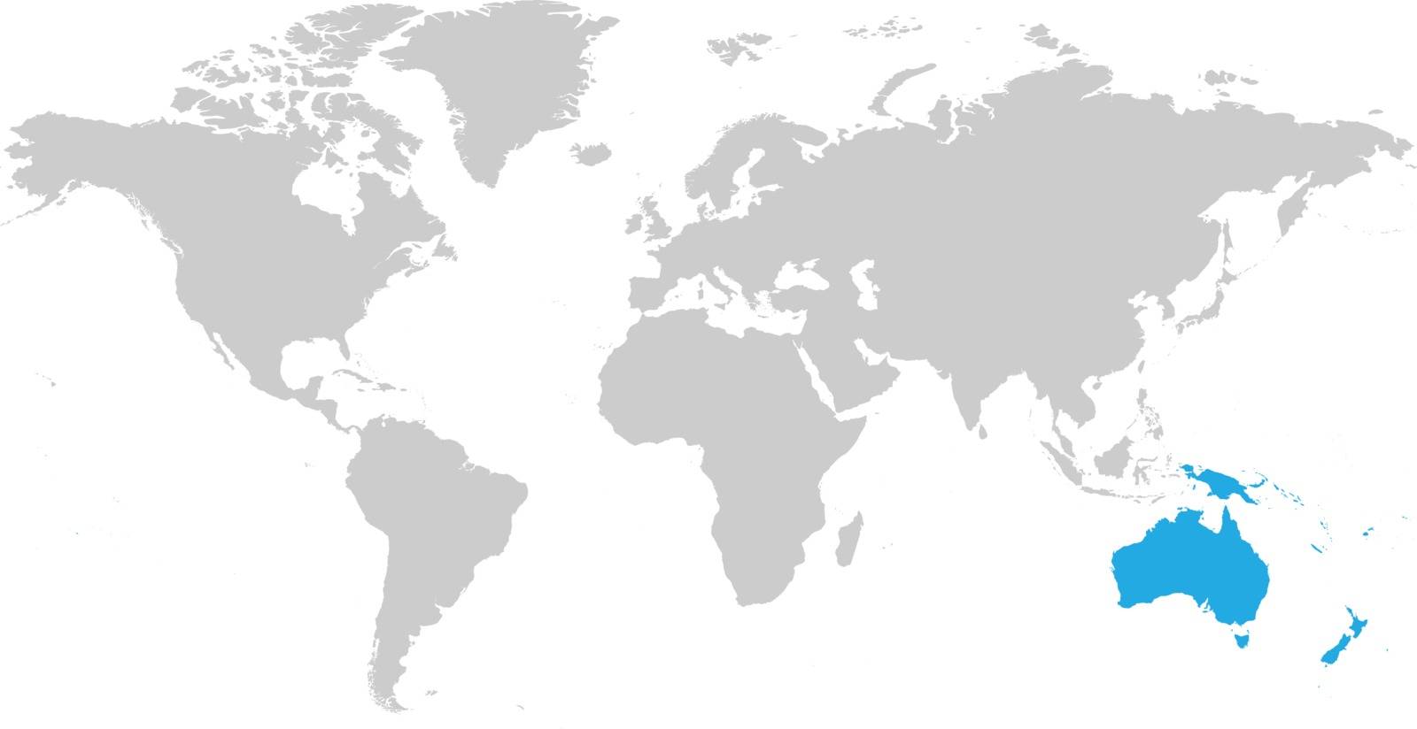
Austtralia and Oceania continent blue marked in grey silhouette of World map. Simple flat vector illustration
VectorUsername
pytyResolution
5000x3242pxAusttralia and Oceania continent blue marked in grey silhouette of World map. Simple flat vector illustration

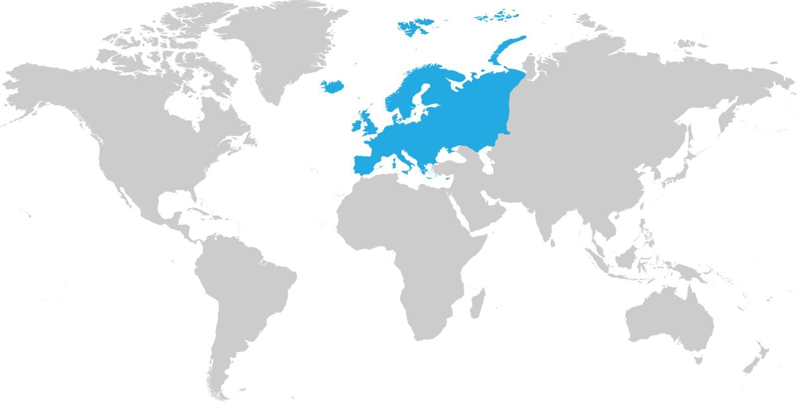
Europe continent blue marked in grey silhouette of World map. Simple flat vector illustration
VectorUsername
pytyResolution
5000x2575pxEurope continent blue marked in grey silhouette of World map. Simple flat vector illustration


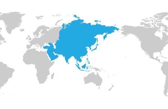
Asia continent blue marked in grey silhouette of World map. Centered on Asia. Simple flat vector illustration
VectorUsername
pytyResolution
5000x3242pxAsia continent blue marked in grey silhouette of World map. Centered on Asia. Simple flat vector illustration
Australia continent blue marked in grey silhouette of World map. Simple flat vector illustration
VectorUsername
pytyResolution
5000x2575pxAustralia continent blue marked in grey silhouette of World map. Simple flat vector illustration


Asia continent blue marked in grey silhouette of World map. Simple flat vector illustration
VectorUsername
pytyResolution
5000x2575pxAsia continent blue marked in grey silhouette of World map. Simple flat vector illustration

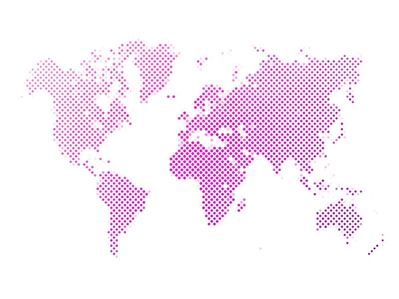
Dotted abstract vector map of World
VectorUsername
pytyResolution
5000x3750pxDotted abstract vector map of World
Dotted abstract vector map of World
VectorUsername
pytyResolution
5000x3750pxDotted abstract vector map of World


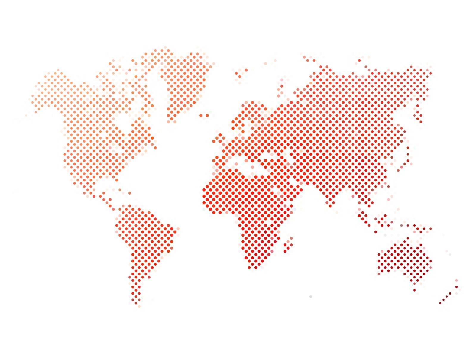
Dotted abstract vector map of World
VectorUsername
pytyResolution
5000x3750pxDotted abstract vector map of World

Dotted abstract vector map of World
VectorUsername
pytyResolution
5000x3750pxDotted abstract vector map of World

Dotted world map
VectorUsername
pytyResolution
5000x3750pxDotted world map

Dotted world map
VectorUsername
pytyResolution
5000x3750pxDotted world map
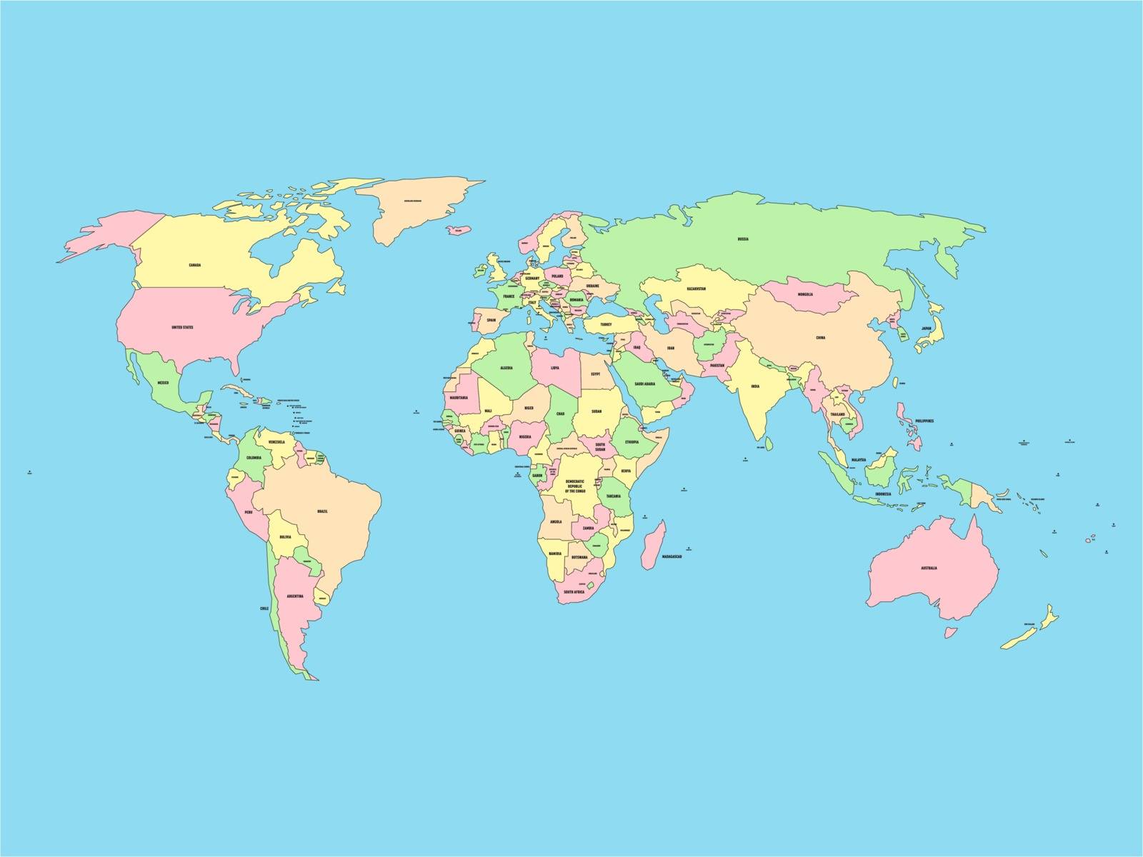
World map with names of sovereign countries and larger dependent territories. Simplified vector map in four colors on blue background
VectorUsername
pytyResolution
5000x3750pxWorld map with names of sovereign countries and larger dependent territories. Simplified vector map in four colors on blue background

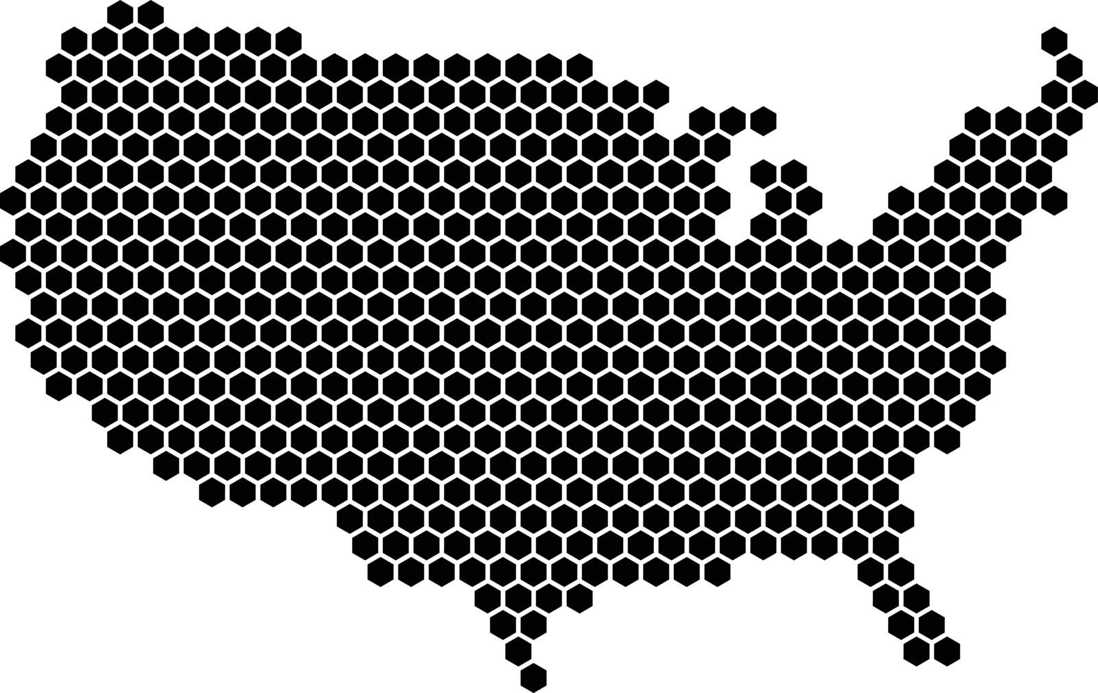
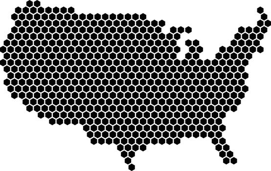
Hexagonal mosaic in a shape of USA map. Black vector illustration
VectorUsername
pytyResolution
5000x3157pxHexagonal mosaic in a shape of USA map. Black vector illustration

Infographic map of South Asia. Modern template with text and colorful state headers. Vector illustration
VectorUsername
pytyResolution
5000x3243pxInfographic map of South Asia. Modern template with text and colorful state headers. Vector illustration

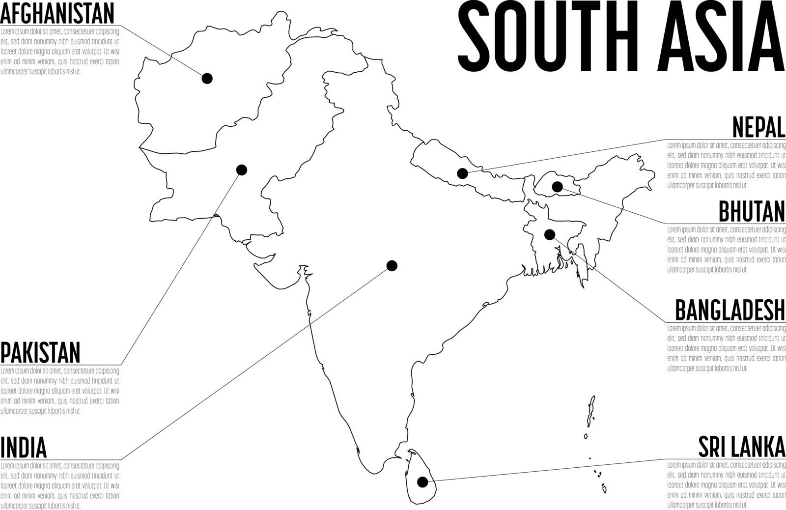
Infographic map of South Asia. Modern template with text in black and white. Vector illustration
VectorUsername
pytyResolution
5000x3243pxInfographic map of South Asia. Modern template with text in black and white. Vector illustration

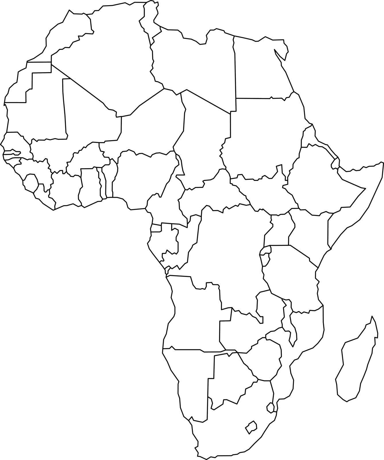
Map of Arfica continent. Simple black wireframe outline with national borders on white background. Vector illustration
VectorUsername
pytyResolution
4177x5000pxMap of Arfica continent. Simple black wireframe outline with national borders on white background. Vector illustration
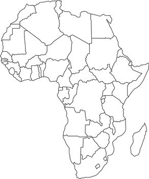

Political map of Arfica continent. Simple black wireframe outline with national borders, and country name labels on white background. Vector illustration
VectorUsername
pytyResolution
5000x5000pxPolitical map of Arfica continent. Simple black wireframe outline with national borders, and country name labels on white background. Vector illustration


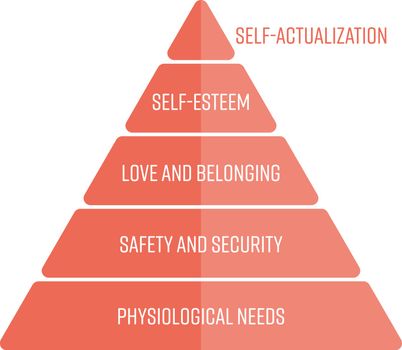
Maslows hierarchy of needs represented as a pyramid with the most basic needs at the bottom. Simple flat vector infographic in red color
VectorUsername
pytyResolution
5000x4353pxMaslows hierarchy of needs represented as a pyramid with the most basic needs at the bottom. Simple flat vector infographic in red color