southeast Royalty Free Vector Images (631)
Page 11 of 13

Balkan map
VectorUsername
rusakResolution
5000x4699pxBalkan map


Colofrul Philippines map
VectorUsername
VolinaResolution
3048x5000pxColofrul Philippines map


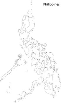
Contour Philippines map
VectorUsername
VolinaResolution
2957x5000pxContour Philippines map

Grey Philippines map
VectorUsername
VolinaResolution
2957x5000pxGrey Philippines map


Grey Malaysia map
VectorUsername
VolinaResolution
5000x2395pxGrey Malaysia map

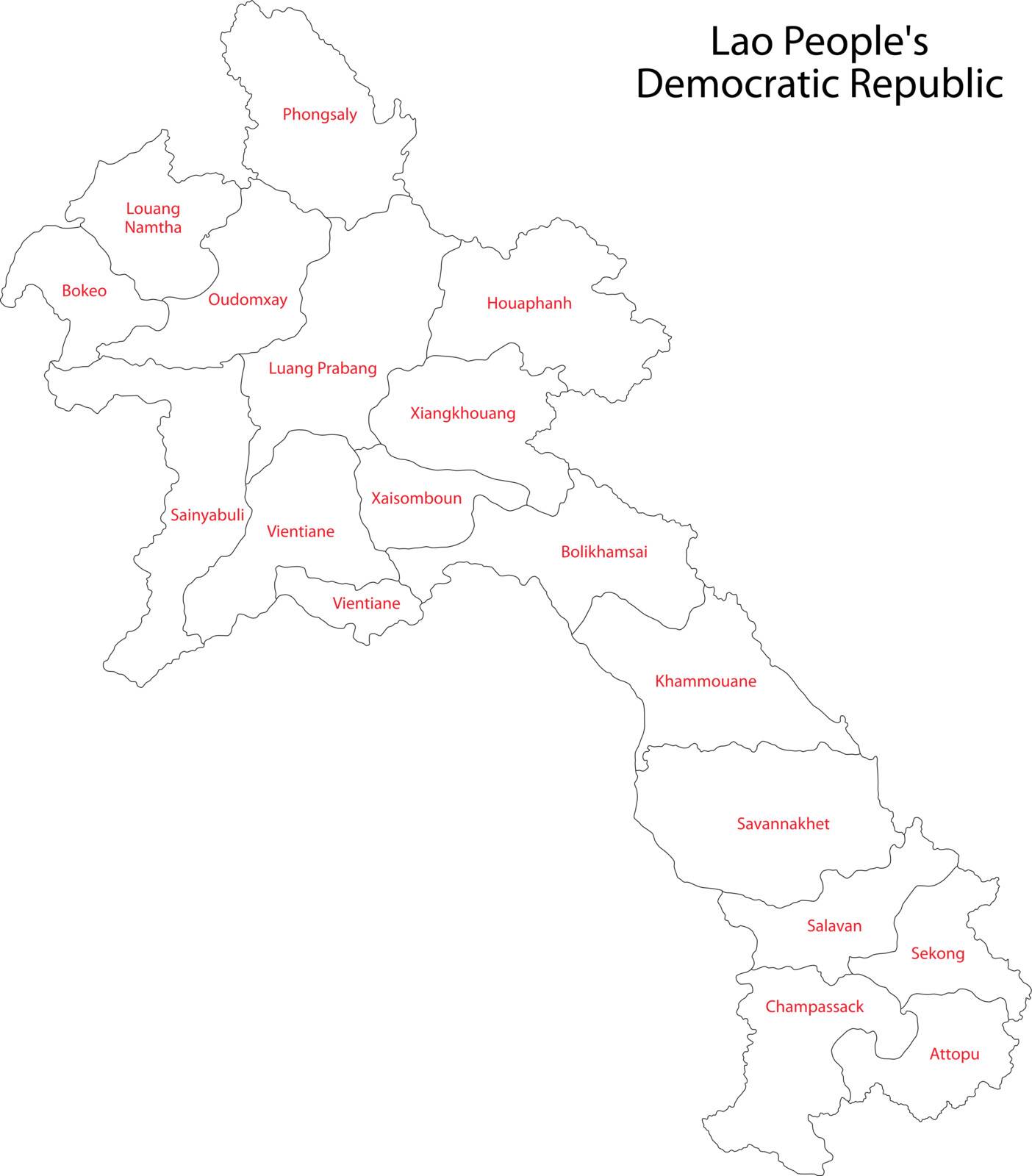
Contour Laos map
VectorUsername
VolinaResolution
4387x5000pxContour Laos map
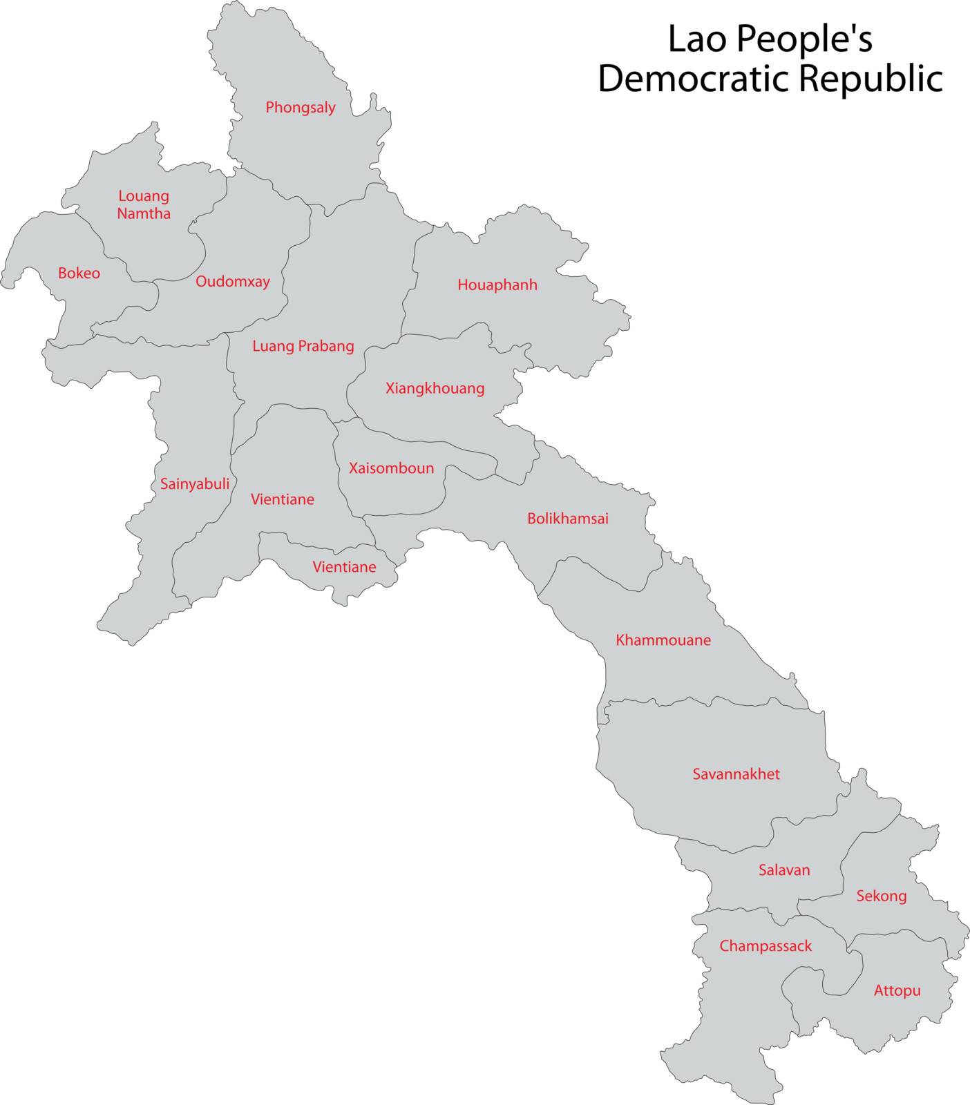
Gray Laos map
VectorUsername
VolinaResolution
4387x5000pxGray Laos map

Contour East Timor map
VectorUsername
VolinaResolution
5000x3012pxContour East Timor map


Colorful Burma map
VectorUsername
VolinaResolution
2225x5000pxColorful Burma map

Welcome to Greece people
VectorUsername
cienpiesResolution
5000x5000pxWelcome to Greece people


Bangkok skyline
VectorUsername
ojalResolution
5000x3331pxBangkok skyline


Flag of East Timor
VectorUsername
YaurinkoResolution
5000x2501pxFlag of East Timor

Flag of Burma (Myanmar)
VectorUsername
YaurinkoResolution
5000x3339pxFlag of Burma (Myanmar)
Flag of Laos
VectorUsername
YaurinkoResolution
5000x3336pxFlag of Laos
Thailand skyline
VectorUsername
compuinfotoResolution
5000x1531pxThailand skyline


Asian Pagoda Silhouette at Dusk
VectorUsername
zagerResolution
5000x5000pxAsian Pagoda Silhouette at Dusk


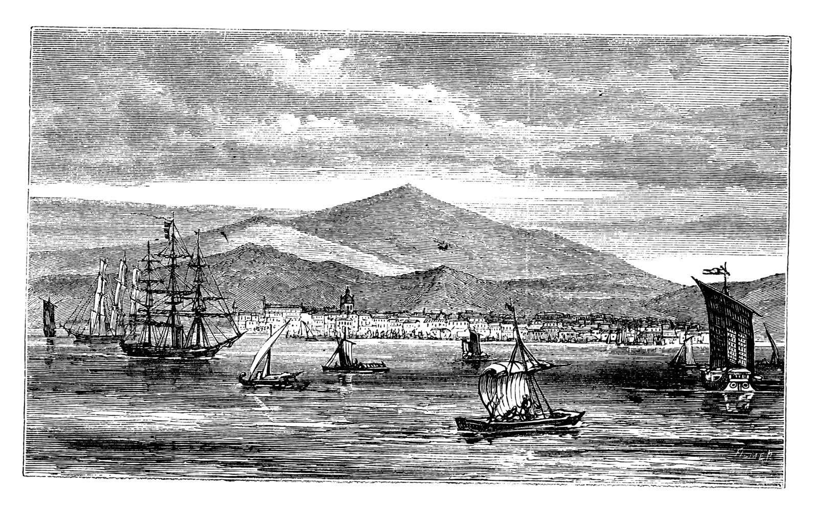
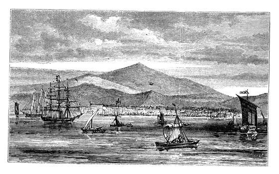
Manila or Pearl of the Orient in Philippines vintage engraving
VectorUsername
MorphartResolution
5000x3570pxManila or Pearl of the Orient in Philippines vintage engraving

Jakarta (Batavia) in Indonesia, during the 1890s, vintage engrav
VectorUsername
MorphartResolution
5000x3124pxJakarta (Batavia) in Indonesia, during the 1890s, vintage engrav

Traditional Bulgarian House
VectorUsername
MalchevResolution
1682x2381pxTraditional Bulgarian House


Traditional Bulgarian House Line Art
VectorUsername
MalchevResolution
1649x2351pxTraditional Bulgarian House Line Art


Vector striped flat map of East Timor in violet and black colors on striped background
VectorUsername
KateArtery19Resolution
8333x8333pxVector striped flat map of East Timor in violet and black colors on striped background

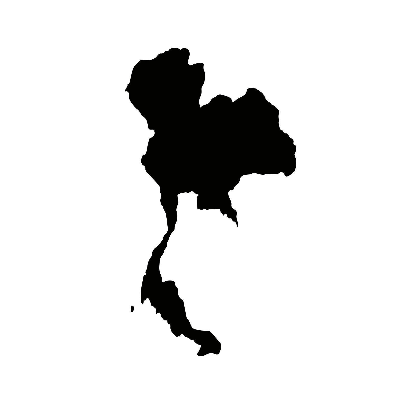
Map silhouette of Thailand. Continent of Thailand. Vectors.
VectorUsername
illust_monsterResolution
5000x5000pxMap silhouette of Thailand. Continent of Thailand. Vectors.


Illustration of Japanese flags composed of yen. The background is black. Pixel art style.
VectorUsername
illust_monsterResolution
6500x3500pxIllustration of Japanese flags composed of yen. The background is black. Pixel art style.


cartoon girl hold watergun
VectorUsername
focus_bellResolution
5206x5208pxcartoon girl hold watergun


girl student traditional Thai dancer
VectorUsername
focus_bellResolution
5007x5015pxgirl student traditional Thai dancer

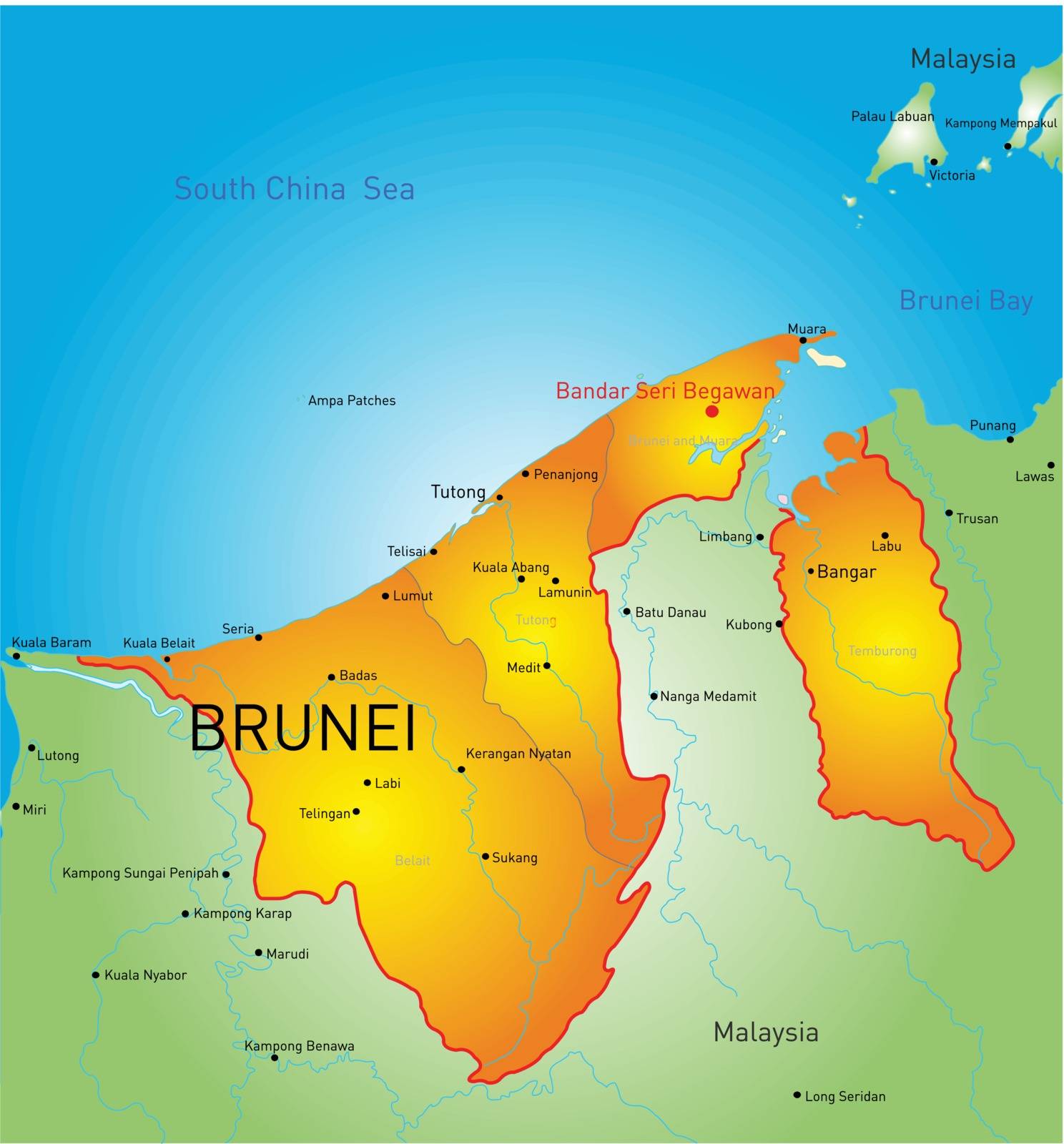
Brunei
VectorUsername
rusakResolution
4650x5000pxBrunei

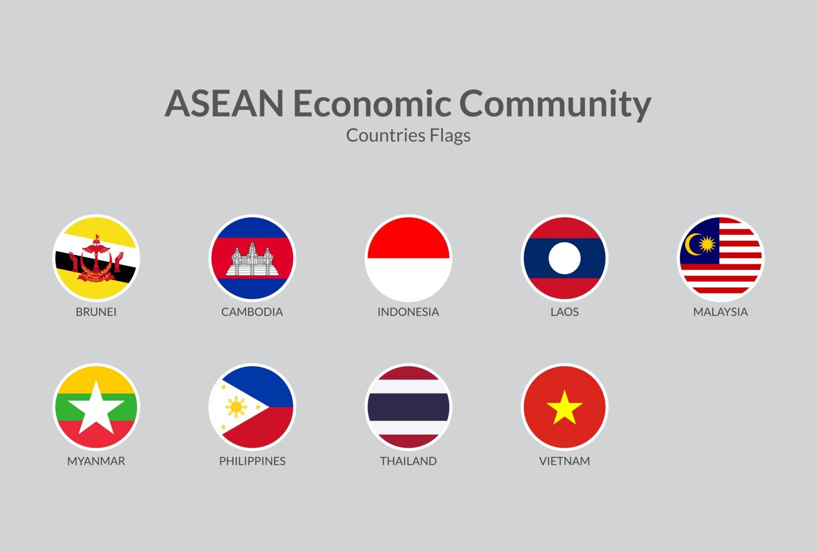
ASEAN Economic Community countries flag icons collection
VectorUsername
shaadjutt36Resolution
5000x3375pxASEAN Economic Community countries flag icons collection
ASEAN Economic Community countries flag icons collection
VectorUsername
shaadjutt36Resolution
5000x4805pxASEAN Economic Community countries flag icons collection
ASEAN Economic Community countries flag icons collection
VectorUsername
shaadjutt36Resolution
5000x3375pxASEAN Economic Community countries flag icons collection


Indonesia marked by blue in grey World political map. Vector illustration
VectorUsername
pytyResolution
5000x3750pxIndonesia marked by blue in grey World political map. Vector illustration


World South America political divisions map
VectorUsername
JRTBurrResolution
4122x5000pxWorld South America political divisions map


World North America political divisions map
VectorUsername
JRTBurrResolution
4122x5000pxWorld North America political divisions map


World Oceania political divisions map
VectorUsername
JRTBurrResolution
4823x5000pxWorld Oceania political divisions map


World Middle East political divisions map
VectorUsername
JRTBurrResolution
4243x5000pxWorld Middle East political divisions map


World Europe political divisions map
VectorUsername
JRTBurrResolution
4122x5000pxWorld Europe political divisions map


World Central America Caribbean political divisions map
VectorUsername
JRTBurrResolution
4504x5000pxWorld Central America Caribbean political divisions map


World Europe Africa political divisions map
VectorUsername
JRTBurrResolution
4122x5000pxWorld Europe Africa political divisions map


World Asia political divisions map
VectorUsername
JRTBurrResolution
4122x5000pxWorld Asia political divisions map


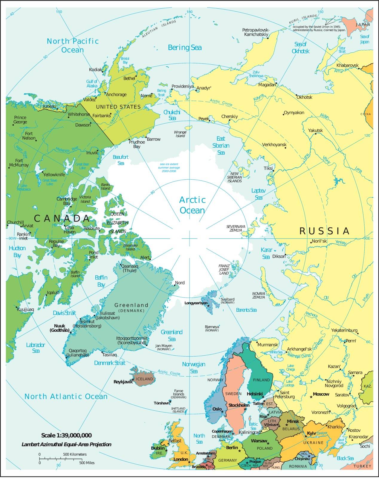
World Arctic region political divisions map
VectorUsername
JRTBurrResolution
4212x5000pxWorld Arctic region political divisions map


World Africa political divisions map
VectorUsername
JRTBurrResolution
4122x5000pxWorld Africa political divisions map


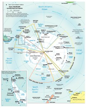
World Antarctic region political divisions map
VectorUsername
JRTBurrResolution
4243x5000pxWorld Antarctic region political divisions map


South America political divisions map
VectorUsername
JRTBurrResolution
3871x5000pxSouth America political divisions map


Europe political divisions map
VectorUsername
JRTBurrResolution
3879x5000pxEurope political divisions map


Middle East political divisions map
VectorUsername
JRTBurrResolution
4262x5000pxMiddle East political divisions map


Asia political divisions map
VectorUsername
JRTBurrResolution
3891x5000pxAsia political divisions map


Central America Caribbean political divisions map
VectorUsername
JRTBurrResolution
5000x3746pxCentral America Caribbean political divisions map


Europe Africa political divisions map
VectorUsername
JRTBurrResolution
3856x5000pxEurope Africa political divisions map

Antarctic region political divisions map
VectorUsername
JRTBurrResolution
3961x5000pxAntarctic region political divisions map

Antarctic region political divisions map
VectorUsername
JRTBurrResolution
4004x5000pxAntarctic region political divisions map

Africa political divisions map
VectorUsername
JRTBurrResolution
4115x5000pxAfrica political divisions map
